Opening article
OlmoEarth v1.3: State-of-the-art embeddings for the whole planet
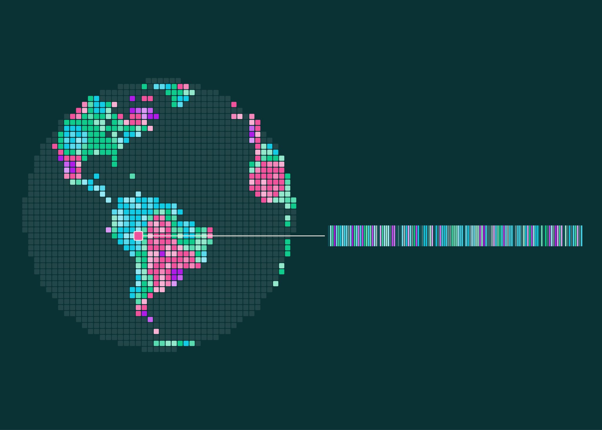
OlmoEarth v1.3 brings state-of-the-art satellite embeddings, precomputed global data, and a browser-based…. Today, we’re releasing OlmoEarth v1.3 , a state-of-the-art satellite embedding model. Alongside OlmoEarth v1.3, we’re sharing precomputed, annual embeddings for the whole planet (10m, 64- and 128-dimensions), plus a new browser-based tool to explore and customize maps based on those embeddings — the OlmoEarth Embeddings Explorer . Until now, the primary way to use OlmoEarth was fine-tuning in OlmoEarth Studio: training a model for each task and running it over satellite imagery to make a map. Explore it yourself in the OlmoEarth Embeddings Explorer.
Benchmark Metric
53%
Reported Accuracy / GainCategory
Research
Industry DomainThe Core Development
Today, we’re releasing OlmoEarth v1.3 , a state-of-the-art satellite embedding model. Alongside OlmoEarth v1.3, we’re sharing precomputed, annual embeddings for the whole planet (10m, 64- and 128-dimensions), plus a new browser-based tool to explore and customize maps based on those embeddings — the OlmoEarth Embeddings Explorer . This means anyone can put OlmoEarth v1.3 to work right away, from tracking change over time to finding similar places—no sign-in, and no advanced technical knowledge required.
Until now, the primary way to use OlmoEarth was fine-tuning in OlmoEarth Studio: training a model for each task and running it over satellite imagery to make a map. That requires GPU access and the ability to download and store the imagery . Embedding models compress satellite data into ready-to-use features that can be reused cheaply for many tasks.
With OlmoEarth v1.3, we’re excited to give users more ways to explore and engage with planetary artifacts in whatever way suits them best.
How It Works & Technical Architecture
We evaluated OlmoEarth v1.3's embeddings against AlphaEarth Foundations (AEF) and Tessera v2 across 27 evaluations, covering six continents and many different tasks. OlmoEarth’s 128-dimensional embeddings score highest on 20 of 27 evals and rank highest overall. The 64-dimensional version, at half the size, still leads on 18 of 27 evals. As part of this evaluation, we introduce PLANTEUR, a new crop-type benchmark for tropical farming , and the embeddings generalize best to places a classifier has never seen (PLANTEUR technical report is available here ). Everything behind them is fully open: the model weights, the pretraining data, and the pretraining code.
Deployment & Availability
This release includes the OlmoEarth v1.3 Base model, the precomputed global embeddings, the OlmoEarth Embeddings Explorer, and the technical report. If your work needs a specific time window, OlmoEarth Studio runs the same model over the dates, modalities, and resolution that you choose, and a tutorial shows how to generate embeddings on your own compute. These tools work together: explore in the Embeddings Explorer, fine-tune in Studio when a task calls for it, and take your map from there. Everything is published under the OlmoEarth Artifact License, the same open license as v1 and v1.2.
Strategic Perspective & Ecosystem Impact
An embedding represents what the model learned from millions of images. OlmoEarth v1.3 reads a year of radar (Sentinel-1) and multispectral (Sentinel-2 and Landsat) satellite time series and produces one 128-dimensional vector for every 10-meter pixel on Earth; the first 64 dimensions also work on their own as a smaller embedding.
Foundation models and global embeddings are expensive to produce, and to make sure everyone is able to access the benefits, we’ve computed these embeddings for the entire planet and shared them with the community on Source Cooperative . From there, a crop map, a land-cover map, or a change analysis becomes a lightweight modeling problem: train a small classifier on top and run it locally.
In practice, this means a small classifier trained on the OlmoEarth embeddings is enough to map what’s on the ground: think classifying smallholder crops in Kenya, detecting brick kilns west of Dhaka, assessing fire damage in Indonesia, and tracking gold mining in the Peruvian Amazon.
Why it matters
This means anyone can put OlmoEarth v1.3 to work right away, from tracking change over time to finding similar places—no sign-in, and no advanced technical knowledge required.